- Afhalen na 1 uur in een winkel met voorraad
- Gratis thuislevering in België vanaf € 30
- Ruim aanbod met 7 miljoen producten
- Afhalen na 1 uur in een winkel met voorraad
- Gratis thuislevering in België vanaf € 30
- Ruim aanbod met 7 miljoen producten
Zoeken
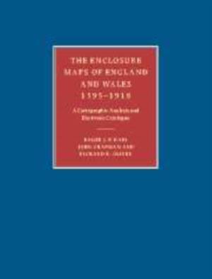
The Enclosure Maps of England and Wales 1595-1918
A Cartographic Analysis and Electronic Catalogue
Roger J P Kain, John Chapman, Richard R Oliver
Paperback | Engels
€ 119,45
+ 238 punten
Omschrijving
Offering a comprehensive study of the enclosure mapping of England and Wales, the authors assess the processes of land enclosure and the role of maps (the mapping of each county and the cartographic characteristics of all the maps). Accompanied by an electronic catalog of all extant parliamentary and non-parliamentary enclosure maps of England and Wales, this book will be an essential research tool for economic, social and local historians as well as geographers, lawyers and planners.
Specificaties
Betrokkenen
- Auteur(s):
- Uitgeverij:
Inhoud
- Aantal bladzijden:
- 436
- Taal:
- Engels
Eigenschappen
- Productcode (EAN):
- 9780521173230
- Verschijningsdatum:
- 3/03/2011
- Uitvoering:
- Paperback
- Bestandsformaat:
- Trade paperback (VS)
- Afmetingen:
- 189 mm x 246 mm
- Gewicht:
- 775 g

Alleen bij Standaard Boekhandel
+ 238 punten op je klantenkaart van Standaard Boekhandel
Beoordelingen
We publiceren alleen reviews die voldoen aan de voorwaarden voor reviews. Bekijk onze voorwaarden voor reviews.


